Capture of existing conditions
We document existing geometry and spaces, including complex, hard-to-access or detail-rich areas.
 SETEC Informatica
3D laser scanner surveys · Forlì and Romagna
We document buildings, plants and complex spaces, turning existing conditions into useful data: point clouds, CAD deliverables and Virtual Tours to review and share.
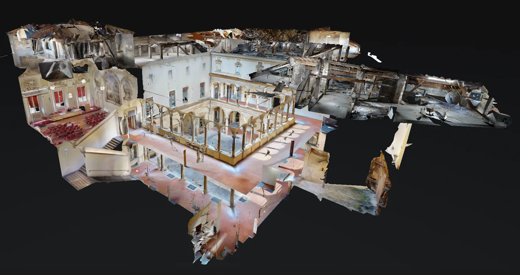
Data that moves projects forward
A complete survey helps you understand geometry and how elements relate before designing, checking or carrying out work. We agree the scope, detail and formats together, tailoring the deliverables to how you will use the data.
We document existing geometry and spaces, including complex, hard-to-access or detail-rich areas.
A reviewable digital reference for dimensional checks, coordination and subsequent design work.
Plans, sections, elevations or 2D/3D DWG deliverables, with agreed content and level of detail.
Explore spaces in a browser, locate every point in context and share it with colleagues and clients.
How we work
We collect the available plans, survey objectives, area involved, access conditions and required results.
We plan the scans and document the spaces while limiting disruption to normal activities.
We organise the data and prepare the point cloud, CAD deliverables or navigable tour as agreed.
From project to exploration
The previews are still images with no automatic movement. Select a project to open its full Virtual Tour in a new tab.
 EXPLORE THE TOUR
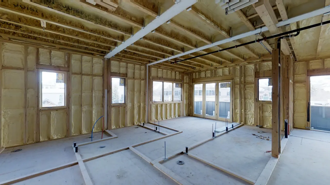
BUILDING · DOCUMENTATION
Explore spaces during construction and review the context remotely: a practical way to share existing conditions.
Open the Virtual Tour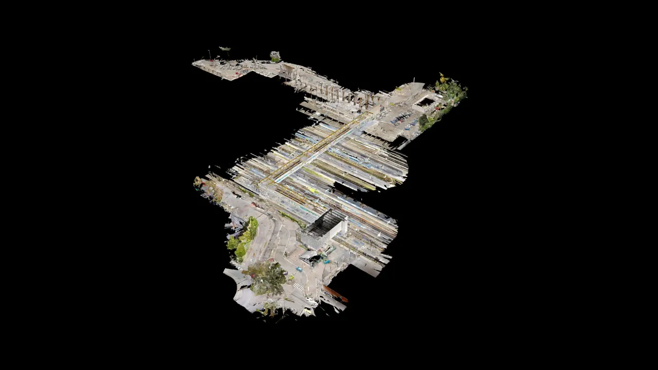 EXPLORE THE TOUR
INFRASTRUCTURE · LARGE SPACES
An example of a complex infrastructure space, available to explore immersively and understand its layout and relationships.
Open the Virtual Tour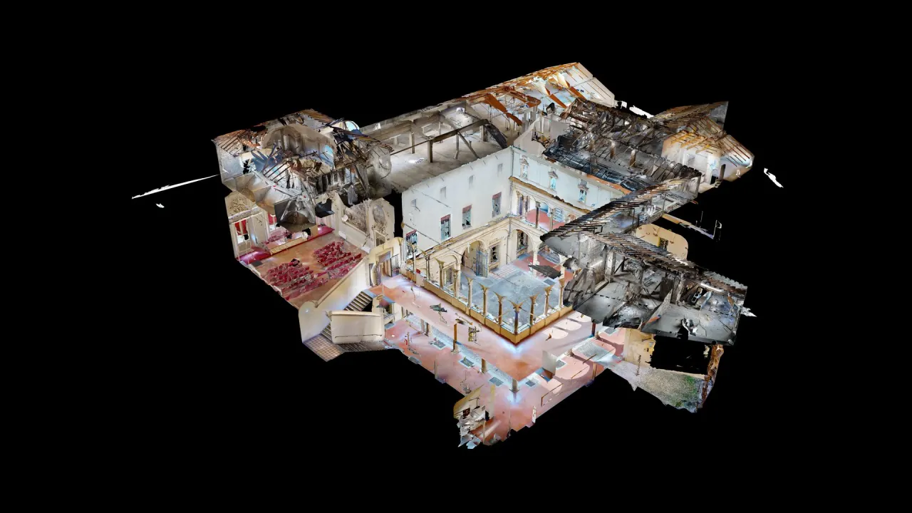 EXPLORE THE TOUR
HISTORIC BUILDINGS · DETAIL
The attic and its geometry become navigable, bringing the detail of a complex space in a historic building within reach.
Open the Virtual TourBefore you begin
Depending on your needs, we can provide the point cloud, 2D or 3D CAD drawings in DWG format and a navigable Virtual Tour. Before starting, we agree together what you need.
It is useful for buildings, interiors, plants, infrastructure and complex spaces. Tell us what you need to survey and we will let you know whether this technology suits your project.
The price depends on the size and complexity of the spaces, accessibility and the deliverables you need. Contact us with a few basic details for a no-obligation assessment.
Tell us about your project
Tell us the type, approximate size, location, objective and preferred delivery format. We will contact you to define the technical scope and prepare a no-obligation proposal.
The quotation is defined after assessing size, accessibility, operating conditions, accuracy and required results. Submitting the form does not create any purchase obligation.
SETEC Informatica Srls · P. IVA 04535350401 · Via Niccolò Copernico, 101 - 47122 Forlì (FC) · 0543 796146
Read the notices: Privacy Policy · Cookie Policy.